The information on this page was correct at the time of publishing (July 2023). The project has since evolved and we would encourage you to read our September update for more information.
Offshore topics
The North Falls PEIR assesses a wide range of potential impacts for physical, biological and human environmental topics for the whole project lifecycle. This page takes a high-level look at the key topics that are relevant to the offshore element of the project.
For full details on each of the specific offshore topics you can click on the relevant chapter link opposite.
Marine geology, oceanography and physical processes
Boat-based geophysical and benthic surveys and desk-reviews of available data were undertaken to assess impacts on marine geology, oceanography and physical processes such as changes to suspended sediment concentrations, changes in seabed level, interruptions to bedload sediment transport and indentations on the seabed. Mitigation will be incorporated into the project design where practicable: including effective and strategic turbine spacing, piling instead of drilling and micro-siting, and burying cables.
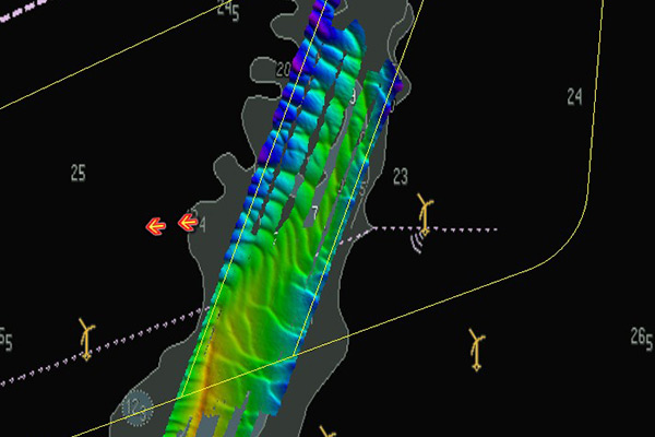
Above: Seabed survey
Marine water and sediment quality
The surveys mentioned above also enabled assessment of potential increases in suspended sediment and the potential deterioration of water quality due to the release of existing contaminants. Through the commitment to use best practice techniques to reduce the likelihood of any accidental release of pollutants the project is predicted to have no significant impact on marine water and sediment quality.
Full details of the topics described on this page can be found in the relevant offshore PEIR chapters with links below:
View Chapter 8 Marine Geology Oceanography and Physical Processes View Chapter 9 Marine Water and Sediment Quality View Chapter 10 Benthic and Intertidal Ecology View Chapter 11 Fish and Shellfish Ecology View Chapter 12 Marine Mammals View Chapter 13 Offshore Ornithology View Chapter 14 Commercial Fisheries View Chapter 15 Shipping and Navigation View Chapter 16 Offshore Archaeology and Cultural Heritage View Chapter 17 Aviation and Radar View Chapter 18 I Infrastructure and Other UsersFeedback Questions
There were limited direct responses to this question however there were views that 1. there should be more offshore sites developed and 2. offshore wind farms should go elsewhere. There was general agreement the offshore environmental and maritime mitigation proposed appeared thorough however questions were posed around the work done to date on an offshore grid connection option.
Benthic and intertidal ecology
North Falls' seabed sampling and intertidal surveys, as well as desk-based research, specifically identified habitats or species in the Kentish Knock East Marine Conservation Zone (MCZ) which overlaps North Falls' southern array area and the Margate and Long Sands Special Area of Conservation (SAC), south of the offshore cable corridor. Impacts identified include: temporary physical disturbance, increased suspended sediment concentrations, re-mobilisation of contaminated sediments and underwater noise and vibration. Mitigation incorporated into the project design, such as selection of export cable route and cable burial, means effects would not be significant, even when cumulated with other projects. As well as the relevant PEIR chapter, more can be read on the SAC in the Report to Inform Appropriate Assessment and MCZ Assessment.
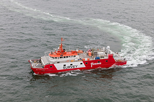
Above: Fugro Mercator survey vessel
Fish and shellfish ecology
Species of commercial importance identified in North Falls studies include sole, whelk, bass, thornback ray, horse mackerel, herring, cod, and plaice. The studies also covered locations for species of conservation importance at certain times of the year, and spawning and nursery grounds. Impacts reviewed include physical disturbance and habitat loss, underwater noise from construction activities, changes in fishing activity, increased suspended sediments and the potential impact of electromagnetic fields around the cables during operation. Mitigation such as cable burial, cable protection, noise-limiting construction protocols and pollution protection measures will be implemented where practicable to ensure no significant impacts on fish and shellfish ecology.
Marine mammals
North Falls undertook two years of monthly aerial surveys for both marine mammals and seabirds. High resolution digital data was collected providing imagery for marine megafauna over the project's two array areas with a four kilometre buffer. As well as use of wider desk-based sources, these surveys provided information on the numbers and density of harbour porpoise, minke whale, grey seal, and harbour seal.
Impacts identified could include: potential hearing damage and disturbance/ behavioural impacts or barrier effects from underwater noise, an increase in vessel collision risk, and indirect effects through changes to water quality and prey resources. Mitigation measures proposed include: soft-start and ramp-up for piling activities; use of best practice guidance to reduce vessel collision risk and implementation of a project environmental monitoring plan to manage potential pollution events. Additional mitigation will be implemented through a marine mammal mitigation plan, with an outline to be submitted alongside the DCO application.
Offshore ornithology
North Falls undertook 24 monthly digital aerial surveys flown along transects across the array site plus buffer zones to record existing bird populations. The impacts assessed for the project include direct disturbance, displacement, collision risk and indirect effects on prey species and habitat. Mitigation measures include sensitive site selection of the offshore cable corridor to minimise overlap with the Outer Thames Estuary SPA, and a minimum air gap of 27 metres (five metres above the gap proposed in the North Falls Scoping Report) to reduce the risk of collisions, and a best-practice shipping protocol which may include actions such as designing transit routes to minimise disturbance within the SPA, restricting and minimising vessel movements, avoiding over-revving of engines and crew training.
Through the use of mitigation measures, the project should not have significant effects on ornithology, even in cumulation with other projects except for some specific species such as the kittiwake and black-backed gull, where there may be a significant impact in terms of collision risk.
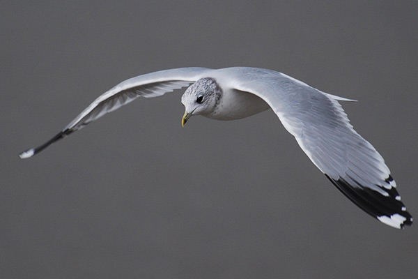
Above: Common seagull
Commercial fisheries
Assessments have identified the project is likely to have a number of potential impacts on commercial fisheries such as loss or restricted access to fishing grounds; displacement of fishing activities into other areas; increased sailing times; interference with fishing activities, and safety issues for fishing. Ways these will be dealt with include the appointment of a fisheries liaison officer for the duration of the construction phase and development of a Fisheries Liaison and Coexistence Plan detailing the approach to liaison with fisheries stakeholders, and development of a Code of Good Practice for project vessels.
In terms of the project design there is a commitment to bury subsea cables, with cable protection to be used where this is not possible, Cable protection will be designed to minimise potential risk of gear snagging and the locations of protected cables will be shared.
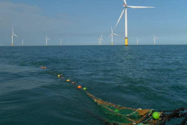
Above: Fisheries survey
Shipping and navigation
Vessel traffic surveys were conducted over two periods in 2022 to using Automatic Identification System (AIS), radar, and visual observations to ensure a full account of traffic within the area. The surveys along with desk-based research informed the assessment of impacts including: risk of vessel-to-structure or vessel-to-vessel collision; vessel displacement; on vessels using nearby ports, and a reduction of emergency capabilities due to increased incident rates and/or reduced access for Search and Rescue (SAR) responders. An additional impact (interaction with subsea cables including cable protection) was assessed for the operational phase.
However these risks can be largely mitigated by implementation of safety measures, adherence to international regulations and conventions, working with consultees on the turbine layout and with thorough emergency response planning and communication of information to other sea users.
Offshore and intertidal archaeology and cultural heritage
This refers to such issues as ship or plane wreck sites, or marine geophysical anomalies of archaeological interest, which were assessed during a marine geophysical survey in 2021, alongside desk-based research. Potential impacts related to direct (physical) impacts to known and also to potential heritage sites, as well as indirect impacts to the heritage assets and seascape character for example, changes to physical processes. There are no known sites within the study area that are subject to statutory protection. North Falls will use archaeological exclusion zones or minor siting adjustments as mitigation with full details on the proposed approach, and investigation into the final design of North Falls, to be covered in an Outlined Written Scheme of Investigation (WSI).
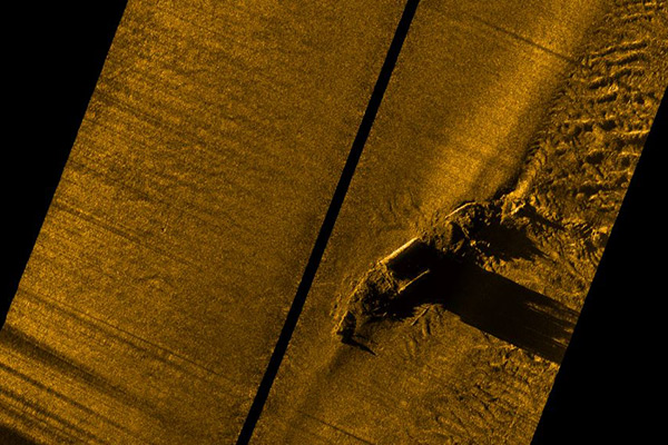
Above: Sunken passenger ship Mecklenburg
Aviation and radar
Aviation and radar assessments focussed on potential impacts to civil and military radars for example due to: the height of construction vessels, the creation of an aviation obstacle environment causing permanent interference, or increased air traffic in areas related to wind farm activity. The project will use obstacle location charts in aeronautical documents, marking and lighting turbines and application of minimum separation distances, as well as targeted communication, to ensure there are no significant impacts.
Infrastructure and other users
This chapter of the PEIR focusses on potential impacts or interference with infrastructure or other users of the marine area such as existing offshore cables, wind farms, oil and gas infrastructure, aggregate sites, and Ministry of Defence (MoD) practice and exercise areas or disposal sites.
Mitigation has been incorporated into the project design, which includes engagement with infrastructure owners and operators to agree commercial and technical arrangements prior to construction. Information will be provided via Notices to Mariners and crossing and proximity agreements will be put in place post-consent with relevant asset owners. These will also be in consultation with Trinity House to determine appropriate lighting and marking and alignment of turbines to provide obstruction free search and rescue access.